Galleries Museums And Collections Attractions Nanango - Gold Coast QLD

GALLERIES MUSEUMS AND COLLECTIONS NANANGO

Galleries Museums And Collections Nanango provides a comprehensive Gold Coast QLD profile for you to find your business in your local Nanango 4615 area. The information presented is the most recent available and updated regularly.

Nanango Fauna Reserve Logo and Images

Nanango Fauna Reserve

Mount Stanley Road, Nanango QLD 4615

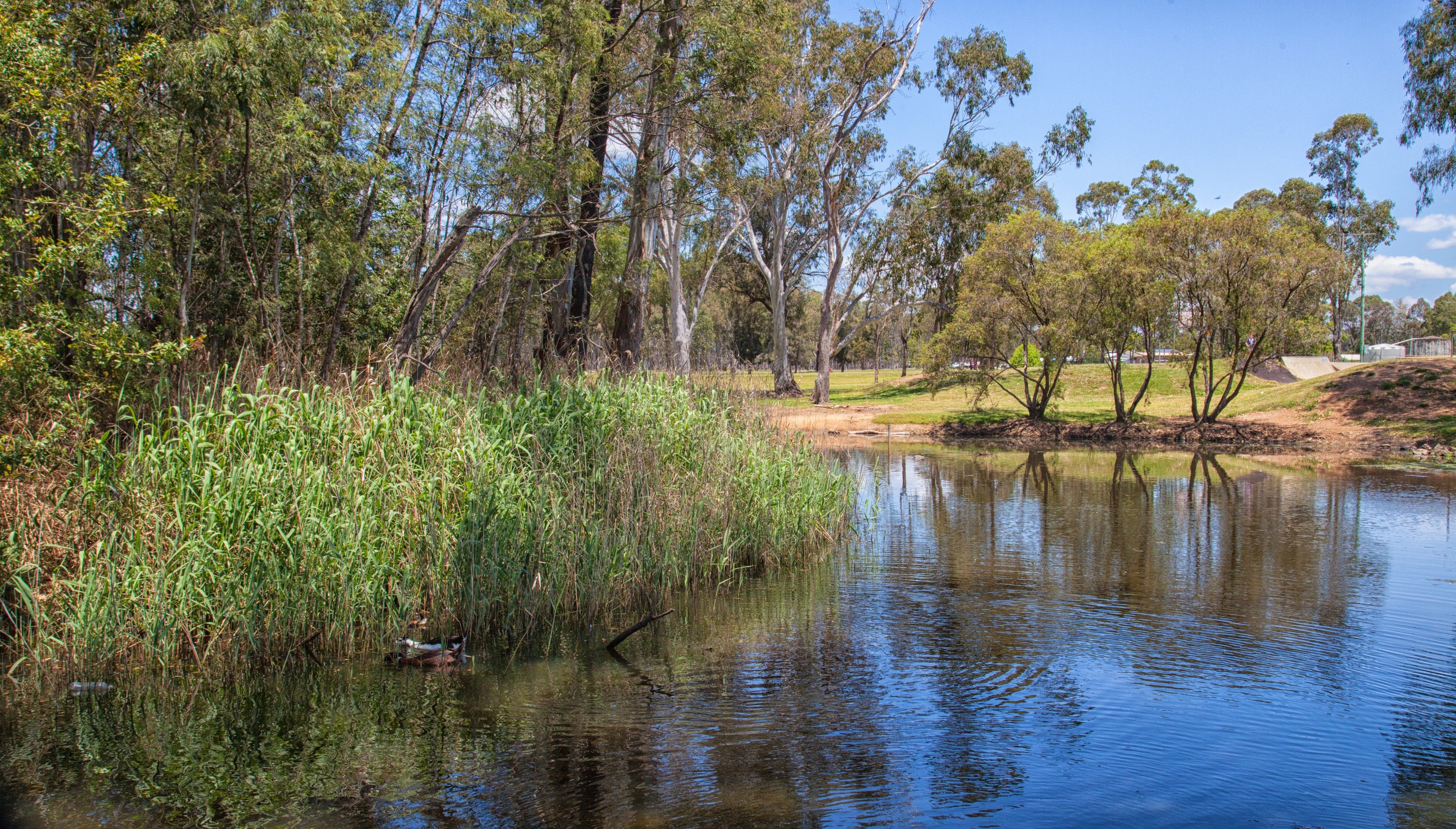
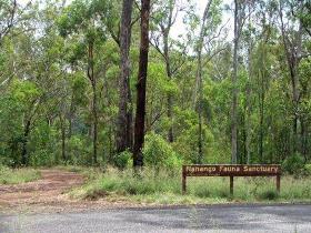
The Nanango Fauna Reserve offers many different environments of seasonal waterholes, eucalypt woodland, acacia scrub, and dry vine scrub. It is a birdwatcher's delight with a variety of birds to be found including the Yellow-Faced Honeyeater, Australian Darter, Varied Sittella, Nankeen Night Heron, and Little Black and Little Pied Cormorant.

Ringsfield House Logo and Images

Ringsfield House

41-45 Alfred Street, Nanango QLD 4615

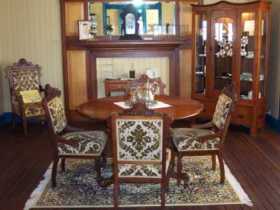
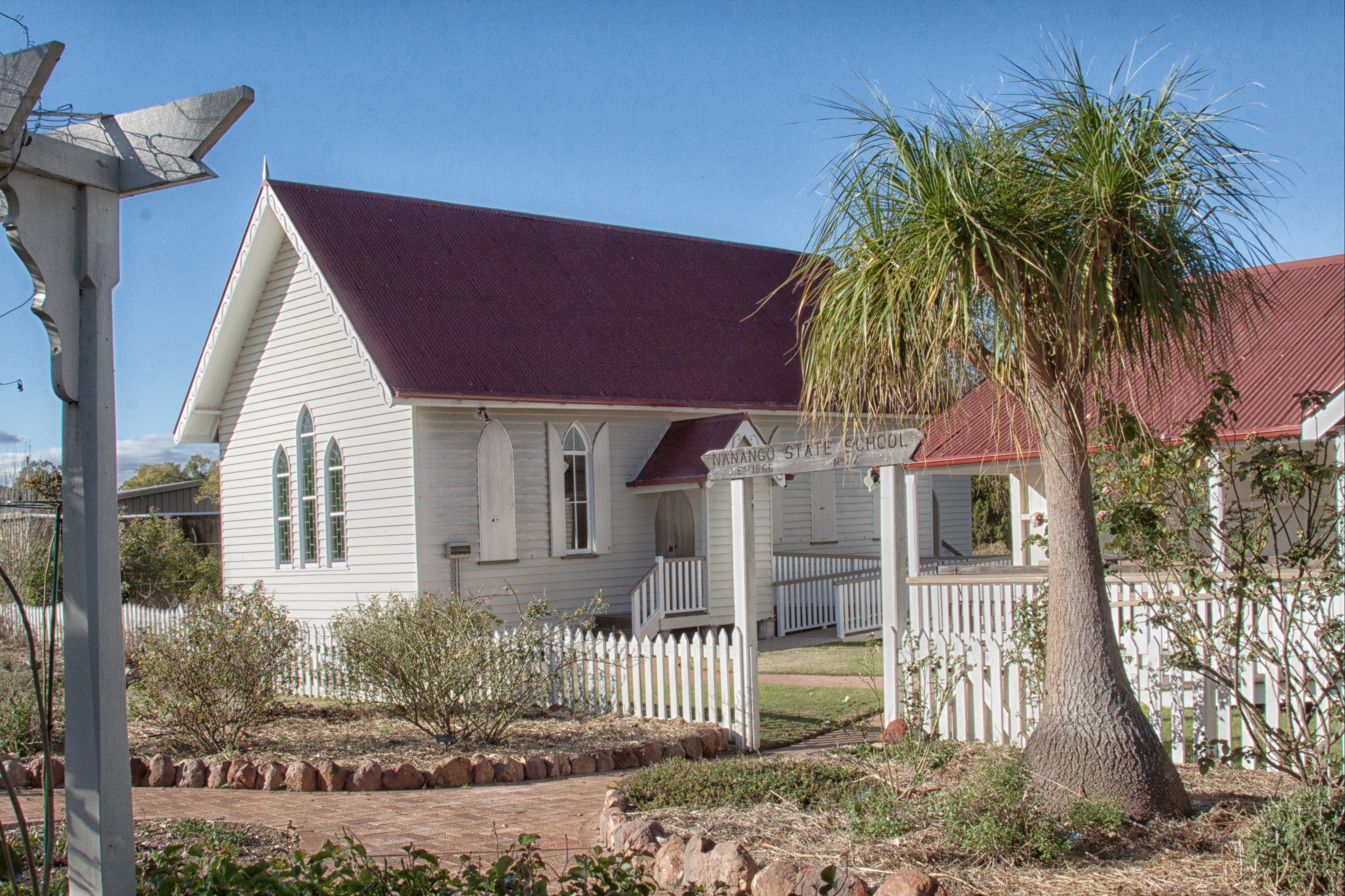
Ringsfield House was built in 1908 for Mr and Mrs James William Davies Graham. It was designed by noted Queensland Architect Robin Dods and is distinguished by its wide verandahs, bay windows, large, airy bedrooms and built in cupboards. Ringsfield has enjoyed four lives so far! From 1908 till 1942 it was the private home of the Graham and Sullivan families. In 1942, the house became the Ringsfield Maternity Hospital. During the hospital's 28 year history, between 3,000 and 4,000 babies were born here prior to the hospital finally closing in 1970. By 1973 the house was occupied again as a lifeline refuge and continued in this capacity for a further 20 years. Finally in 1992 the then Nanango Shire Council determined that Ringsfield should be restored as a museum and historical centre. Today, Ringsfield is an active community museum offering displays, art and crafts, and catering for small functions. As the headquarters of the Nanango Historical Society, it is a repository for historical photographs and archives. Also within the precinct is a replica coach house, cream shed, slab shepherd's hut, the town's original Presbyterian Church and Nanango's oldest surviving building - the State School built in 1866.

Butter Factory Park Logo and Images

Butter Factory Park

Corner Drayton Street and Gold Street, Nanango QLD 4615

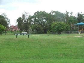
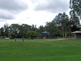
Located on the corner of Drayton and Gold Streets, Nanango, the Butter Factory Park includes a playground, bike road safety training circuit, public toilet with wheelchair access, tables and water. The Butter Factory Park is across the creek from Nanango's historic Butter Factory which opened in 1905, until the last butter churn was turned on 1 June 1977. Now used as commercial premises, the Butter Factory forms a part of Nanango's historic walk.

Autumn Park Logo and Images

Autumn Park

Drayton Street, Corner of Cairns Street, Nanango QLD 4615

Autumn Park is situated on the corner of Drayton and Cairns Street, Nanango, and is the most recently built recreational park in Nanango. The Nanango Shire Council established it in February/March 1997 on the site of the old saleyard. The first stockyards built belonged to Jacob Goode. They were located between his Inn and Chinaman's Waterhole. Today, Autumn Park provides an appealing entry to the township of Nanango, but you should not forget the lives that blossomed and declined with the fortunes of the saleyards that once covered this area. This park is a National Serviceman's Memorial Park. The flag will fly day and night as a constant reminder of the contribution of the young men who served.

Green Park Logo and Images

Green Park

10 Lee Court, Nanango QLD 4615
This park, Green Park, derives its name from the Green Family who were early settlers and business people in the Nanango District. The father, three of his sons, and a grandson were all Councillors. This park is located at Lee Court and there is a covered playground area. Come along and enjoy the relaxing atmosphere.
Pioneer Park Logo and Images

Pioneer Park

Drayton Street, Nanango QLD 4615
Pioneer Park is located on the western side of Sandy Creek and beside Drayton Street, and was once called Nanango Park when it was first developed in 1919. This reserve between the Primary School and the Railway Station was used as a memorial to the soldiers of the First World War. Camphor Laurel and Pepperina Trees were planted on the eastern side of the creek and assigned to the school to care for them. Due to lack of public interest, this reserve was returned to its original state when the fences and trees were broken down and cattle were allowed to graze on the land. Pioneer Park came into being in 1978 when Joe Anderson became deeply involved with the concept. It wasn't until 1982 when the Nanango Rural Youth Club installed picnic tables and a barbecue. Development continued over the years. However, the old curved railway bridge across Sandy Creek and railway station still remain to remind us of what once used to be.
Lions Park Logo and Images

Lions Park

D'Aguilar Highway, Nanango QLD 4615
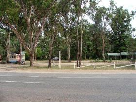
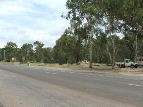
Located on the D'Aguilar Highway on the south side of the township of Nanango, Lions Park is a lovely stop. The facilities include toilets, barbecue, playground, shelter and tables. This park is alongside Tipperary Flat, which is a tribute to the Pioneer Days. The Peanut Wagon is also located nearby.
Tipperary Flat Logo and Images

Tipperary Flat

D'Aguilar Highway, Nanango QLD 4615
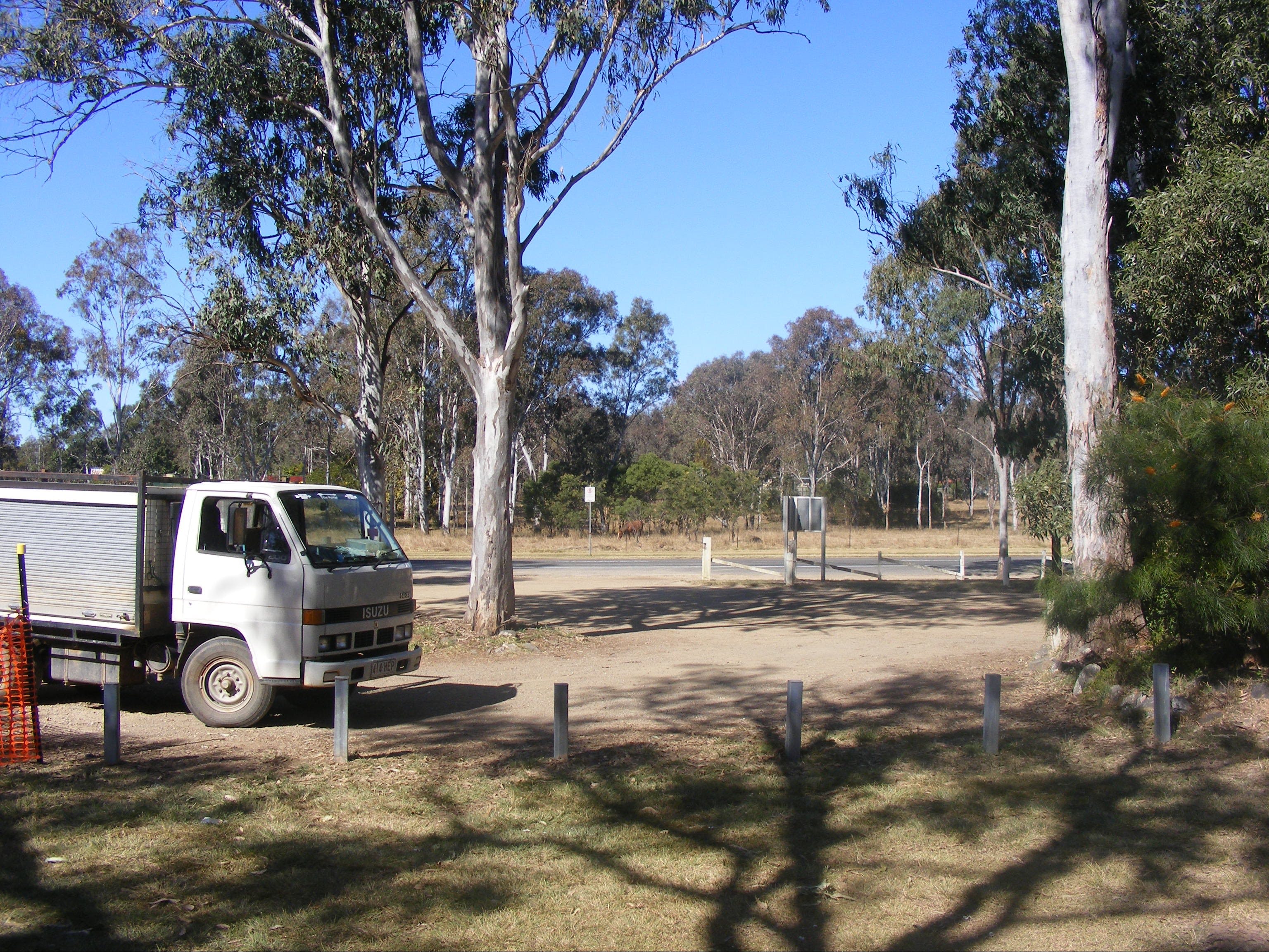
Tipperary Flat, situated at the southern entrance to Nanango adjacent to Lions Park and the BP Service Station, is a well equipped picnic area featuring a walking trail leading visitors around the historic displays with informative interpretive signs provided. In early days, Tipperary Flat was used for sports days and get-togethers with other families who lived close by and the name originated from the first settlers who came from Ireland. A walking track extends to the Tarong turnoff past ‘Hannibal’, the first Tarong Coal Dragline Bucket, and has become a popular pastime for residents, visitors and pets. Adjacent to Tipperary Flat is an existing stand of Bunya Trees, a special icon of the natural and cultural heritage of the South Burnett, which acknowledge the original inhabitants. Tipperary Flat is an informative rest stop on your journey through the South Burnett.
Reg McCallum Park Logo and Images

Reg McCallum Park

Henry Street, Nanango QLD 4615
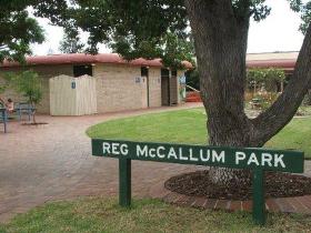
Located in Henry Street, Nanango, this attractive park, Reg McCallum Park, is named after the Mayor of the Nanango Shire, Reg McCallum, who has been the Mayor for over 25 years. The facilities include public toilets with wheelchair access, parenting rooms, free showers, playground, tables and chairs. The Nanango Visitor Information Centre can also be found here, which provides services that include:- the Tarong Power Display, information on attractions, accommodation and businesses, as well as offering history research, a range of souvenirs and other goods.
Butter Factory Park, Nanango Logo and Images

Butter Factory Park, Nanango

Corner Drayton Street and Gold Street, Nanango QLD 4615
Located on the corner of Drayton and Gold Streets, Nanango, Butter Factory Park includes a playground, bike road safety training circuit, picnic tables, access to water and public toilets with wheelchair access. Butter Factory Park is across the creek from Nanango's historic Butter Factory which opened in 1905, until the last butter churn was turned on 1 June 1977. Now used as commercial premises, the Butter Factory forms a part of Nanango's historic walk.

Ringsfield House, Nanango

41-45 Alfred Street, Nanango QLD 4615
Stately Ringsfield House was built in 1908 for Mr and Mrs James William Davies Graham. It was designed by noted Queensland Architect Robin Dods and is distinguished by its wide verandahs, bay windows, large, airy bedrooms and built-in cupboards. Ringsfield has enjoyed four lives so far! From 1908 till 1942 it was the private home of the Graham and Sullivan families. From 1942 to 1970, it served as Ringsfield Maternity Hospital delivering almost 4,000 babies! By 1973 the house was a Lifeline refuge and continued in this capacity for a further 20 years. In 1992, the then Nanango Shire Council restored Ringsfield as a museum and historical centre. Today, Ringsfield is an active community museum offering displays, art and crafts and a cafe open 9am to 4pm daily for coffee and cake, or lunch and breakfast on Sundays. There are also facilities for small functions. As the headquarters of the Nanango Historical Society, it is a repository for historical photographs and archives. Also within the precinct is a replica coach house, cream shed, slab shepherd's hut, the town's original Presbyterian Church and Nanango's oldest surviving building - the State School built in 1866....

Tipperary Flat

D'Aguilar Highway, Nanango QLD 4615
Tipperary Flat, situated at the southern entrance to Nanango adjacent to Lions Park and the BP Service Station, is a well equipped picnic area featuring a walking trail leading visitors around the historic displays with informative interpretive signs provided. In early days, Tipperary Flat was used for sports days and get-togethers with other families who lived close by and the name originated from the first settlers who came from Ireland. A walking track extends to the Tarong turnoff past ‘Hannibal’, the first Tarong Coal Dragline Bucket, and has become a popular pastime for residents, visitors and pets. Adjacent to Tipperary Flat is an existing stand of Bunya Trees, a special icon of the natural and cultural heritage of the South Burnett, which acknowledge the original inhabitants. Tipperary Flat is an informative rest stop on your journey through the South Burnett....

The Waterhole Rocks

129 Drayton Street, Nanango QLD 4615
The Nanango A. P. and M. Society Incorporated, (The Nanango Show Society) is presenting the 5th Annual Waterhole Rocks Rock n Roll Campout weekend. The program for this event is actually a combination of three events all combined into one. Rock 'n' Roll music and dancing, Custom Cars and Hot Rods, and competitions with a Car and Vintage Caravan Show Show Show N Shine with Grass Driving and Games. Along with the Rock 'n'Roll bands there will be entertainers performing all weekend with free dance lessions (rock 'n' roll) for the public. The show society will be running a canteen during the weekend and there will be plenty of camping available to patrons who wish to enjoy the event first hand....
Reg McCallum Park Logo and Images

Reg McCallum Park

Henry Street, Nanango QLD 4615
Located in Henry Street, Nanango, this attractive park, Reg McCallum Park, is named after the Mayor of the Nanango Shire, Reg McCallum, who has been the Mayor for over 25 years. The facilities include public toilets with wheelchair access, parenting rooms, free showers (need to get key from the South Burnett Visitor Information Centre - Nanango), playground, tables and chairs. The South Burnett Visitor Information Centre - Nanango can also be found across the road, which provides services that include:- the Tarong Power Display, information on attractions, accommodation and businesses, as well as offering history research, a range of souvenirs and other goods. ...
Ringsfield House, Nanango Logo and Images

Ringsfield House, Nanango

41-45 Alfred Street, Nanango QLD 4615
Ringsfield House is currently closed. Stately Ringsfield House was built in 1908 for Mr and Mrs James William Davies Graham. It was designed by noted Queensland Architect Robin Dods and is distinguished by its wide verandahs, bay windows, large, airy bedrooms and built-in cupboards. Ringsfield has enjoyed four lives so far! From 1908 till 1942 it was the private home of the Graham and Sullivan families. From 1942 to 1970, it served as Ringsfield Maternity Hospital delivering almost 4,000 babies! By 1973 the house was a Lifeline refuge and continued in this capacity for a further 20 years. In 1992, the then Nanango Shire Council restored Ringsfield as a museum and historical centre. From November 2017 Ringsfield will operate not only as a museum, cafe and tourist destination but also as a restaurant and events venue supporting both the local and broader communities. It continues to draw people from far and wide to experience the beauty, peace and tranquility that Nanango has to offer....
Lions Park - Nanango Logo and Images

Lions Park - Nanango

D'Aguilar Highway, Nanango QLD 4615
Lions Park is a lovely stop just off the D'Aguilar Highway, on the south side of the township of Nanango. Facilities include toilets, a barbecue, a playground for the kids, shelter and tables. This park is alongside Tipperary Flat, which is a tribute to the Pioneer Days. The Peanut Wagon is also located nearby. ...
South Burnett Energy Centre Logo and Images

South Burnett Energy Centre

Henry Street, Nanango QLD 4615
The newly opened South Burnett Energy Centre reflects the past, the people and the energy technology that developed the region and continues to mould our future. The visually exciting displays are located in a building formerly owned by Tarong Coal and incorporate a number of time lines and interactive displays as well as the original engines that supplied energy to Nanango for the first time in 1933. ...
Tipperary Flat Logo and Images

Tipperary Flat

D'Aguilar Highway, Nanango QLD 4615
Tipperary Flat, situated at the southern entrance to Nanango adjacent to Lions Park and the BP Service Station, is a well equipped picnic area featuring a walking trail leading visitors around the historic displays with informative interpretive signs provided. In early days, Tipperary Flat was used for sports days and get-togethers with other families who lived close by and the name originated from the first settlers who came from Ireland. A walking track extends to the Tarong turnoff past ‘Hannibal’, the first Tarong Coal Dragline Bucket, and has become a popular pastime for residents, visitors and pets. Adjacent to Tipperary Flat is an existing stand of Bunya Trees, a special icon of the natural and cultural heritage of the South Burnett, which acknowledge the original inhabitants. Tipperary Flat is an informative rest stop on your journey through the South Burnett. ...
Pioneer Park Logo and Images

Pioneer Park

Drayton Street, Nanango QLD 4615
Pioneer Park is located on the western side of Sandy Creek and beside Drayton Street, and was once called Nanango Park when it was first developed in 1919. This reserve between the Primary School and the Railway Station was used as a memorial to the soldiers of the First World War. Camphor Laurel and Pepperina Trees were planted on the eastern side of the creek and assigned to the school to care for them. Due to lack of public interest, this reserve was returned to its original state when the fences and trees were broken down and cattle were allowed to graze on the land. Pioneer Park came into being in 1978 when Joe Anderson became deeply involved with the concept. It wasn't until 1982 when the Nanango Rural Youth Club installed picnic tables and a barbecue. Development continued over the years. However, the old curved railway bridge across Sandy Creek and railway station still remain to remind us of what once used to be. ...
Nanango Fauna Reserve Logo and Images

Nanango Fauna Reserve

Mount Stanley Road, Nanango QLD 4615
Just ten minutes out of Nanango, the peaceful Nanango Fauna Reserve offers many different environments to explore, from seasonal waterholes to eucalypt woodland, acacia scrub, and dry vine scrub. It is a bird watcher's delight with a variety of species to be found including the Yellow-Faced Honeyeater, Australian Darter, Varied Sittella, Nankeen Night Heron, and Little Black and Little Pied Cormorant....